Show summary Hide summary
In a serendipitous discovery that could only be described as striking gold in historical terms, a collection of top-secret World War II maps, crucial for the success of the D-Day landings, were unearthed from a nondescript cardboard box. Acquired at a seemingly trivial auction for a mere $10, these documents not only chart the geography of the French coastline but also detail the daunting defenses the Allies faced during one of the most significant invasions in military history. These maps, once exclusive to the eyes of the military elite, now reveal the intense preparations behind the pivotal operation that marked the beginning of the end of Nazi dominance in Europe.
Unveiling the Treasure
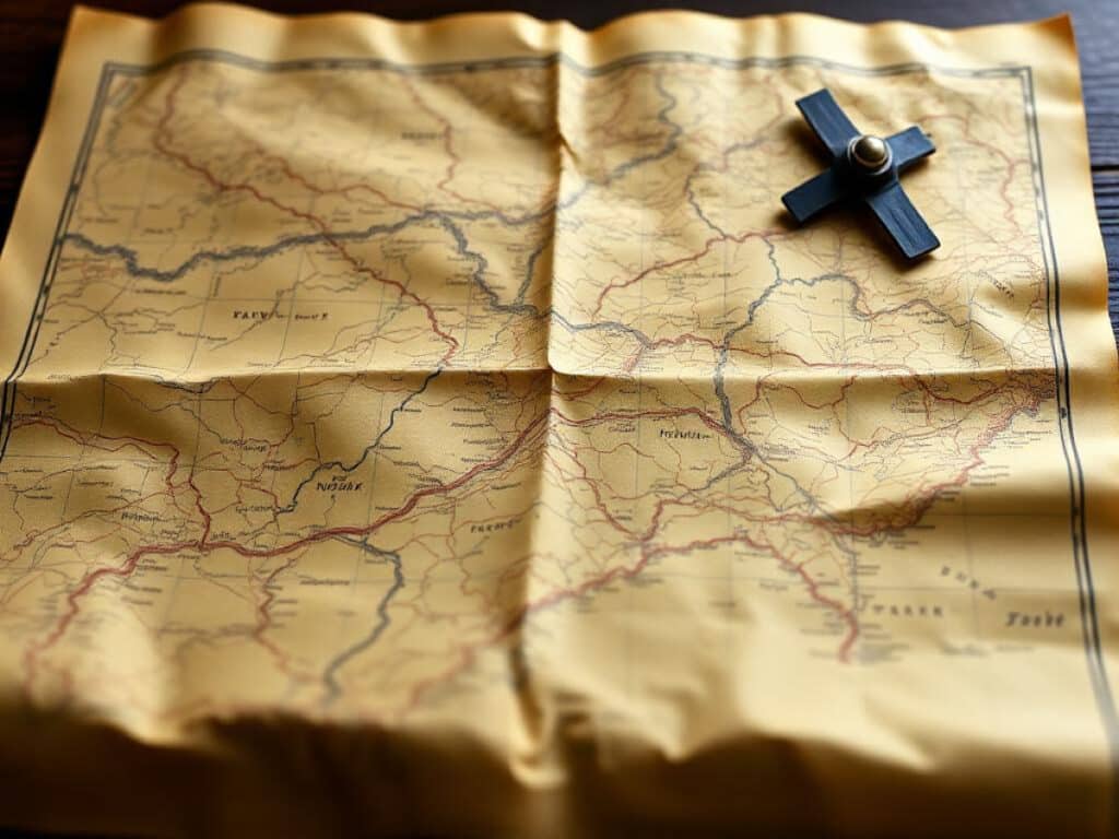
The maps, originally in the possession of Royal Naval sub-lieutenant Walter Page, depict the five landing beaches—Utah, Omaha, Gold, Juno, and Sword—with meticulous annotations of German fortifications. From barbed wire to minefields marked in distinct purple ink, each map presents a chilling view of what the Allied forces were up against. Walter Page, who served on Landing Craft Tank 2138, was part of the massive armada that ferried men and supplies across the treacherous English Channel on June 6, 1944. The maps’ significance comes from their detailed representation of the beaches, which were vital for navigating and strategizing the landing operations.
The Path to Public Eye
The journey of these maps from a critical military secret to a public revelation began when their current owner decided to rummage through the box of memorabilia he had purchased. To his astonishment, these maps, which had been shielded from the public gaze for decades, surfaced, shedding light on the intricacies of the D-Day operations. The discovery was timely, as the maps are set to be auctioned individually by Hansons Auctioneers in Derbyshire, England. With their historical significance now recognized, they are expected to fetch up to $20,000 in total.
The Growing Demand for Data-Driven Decision Making in Silicon Valley
He quit, ran out of money, and begged to come back — here’s how his boss reacted
Details of the Maps
- Five out of the six maps detail individual landing zones.
- The sixth map provides an overview for landing craft pilots.
- Each map is marked in a scale of 1:12,500, translating detailed military insights into navigable cartographic information.
Auction Details and Historical Insights
These maps are not just rare collectibles; they represent a tangible connection to a day that significantly altered the course of World War II. Hansons’ military expert, Matt Crowson, emphasized the gravity of what these maps represented for soldiers landing under hostile fire. The auction, set to commence on August 13, offers a unique opportunity for collectors and historians to own a piece of history that illustrates the bravery and strategic prowess of the Allied forces.
Online Bidding and Viewing
Interested buyers can place their bids online via the Hansons Auctioneers’ website. This digital platform not only broadens the accessibility of the auction but also allows a global audience to appreciate and possibly own a fragment of World War II history.
Broader Historical Context
These maps are a testament to the meticulous planning and reconnaissance efforts undertaken by the Allies. Prior to D-Day, photo-reconnaissance aircraft played a critical role in mapping the French coast, ensuring that the maps were as accurate as possible. The detailed depictions of anti-tank obstacles, submerged mines, and other fortifications highlight the daunting challenges faced by the troops. More than 150,000 Allied personnel were involved in the operation, which not only tested military might but also human courage and resilience.
The discovery and subsequent auction of these D-Day maps underscore the unpredictable journey of historical artifacts. From a forgotten box in an auction to a prized feature in a prestigious sale, these maps continue to tell the stories of those who dared to brave the uncertain waters of the English Channel and the fortified shores of Normandy for a greater cause.
You might also like:
- Rare Tudor coins unearthed in backyard, family to sell at auction
- 16th-century diamond ring found with metal detector after an all-day field search
- Italian marble busts mistaken for concrete garden ornaments found to be worth thousands
- King Arthur manuscript with 126 illustrations may soon enter public collection
- Trump Renames Defense Department: Now Called “Department of War”

Michael Thompson is an experienced journalist covering U.S. and global news. With ten years on the front lines, he breaks down political and economic stories that matter. His precise writing and keen attention to detail help you grasp the real‑world impact of every event.
