
Show summary Hide summary
The European Space Agency’s newest Copernicus workhorse, Sentinel-3C, has started sending back striking full-color pictures of Earth just days after lift-off. The early images already showcase the satellite’s sharp view of coastlines, ice fields, and ocean color — a preview of the steady stream of environmental data it will provide in the years ahead.
Built to join its Sentinel-3 siblings, Sentinel-3C combines optical and radar instruments to monitor everything from sea surface height to the health of vegetation on land. Scientists are still putting the satellite through its paces, but these first snapshots make clear that the platform is functioning as designed.
Fresh views of Italy, the Arctic and the Caribbean from Sentinel-3C
The Growing Demand for Data-Driven Decision Making in Silicon Valley
He quit, ran out of money, and begged to come back — here’s how his boss reacted
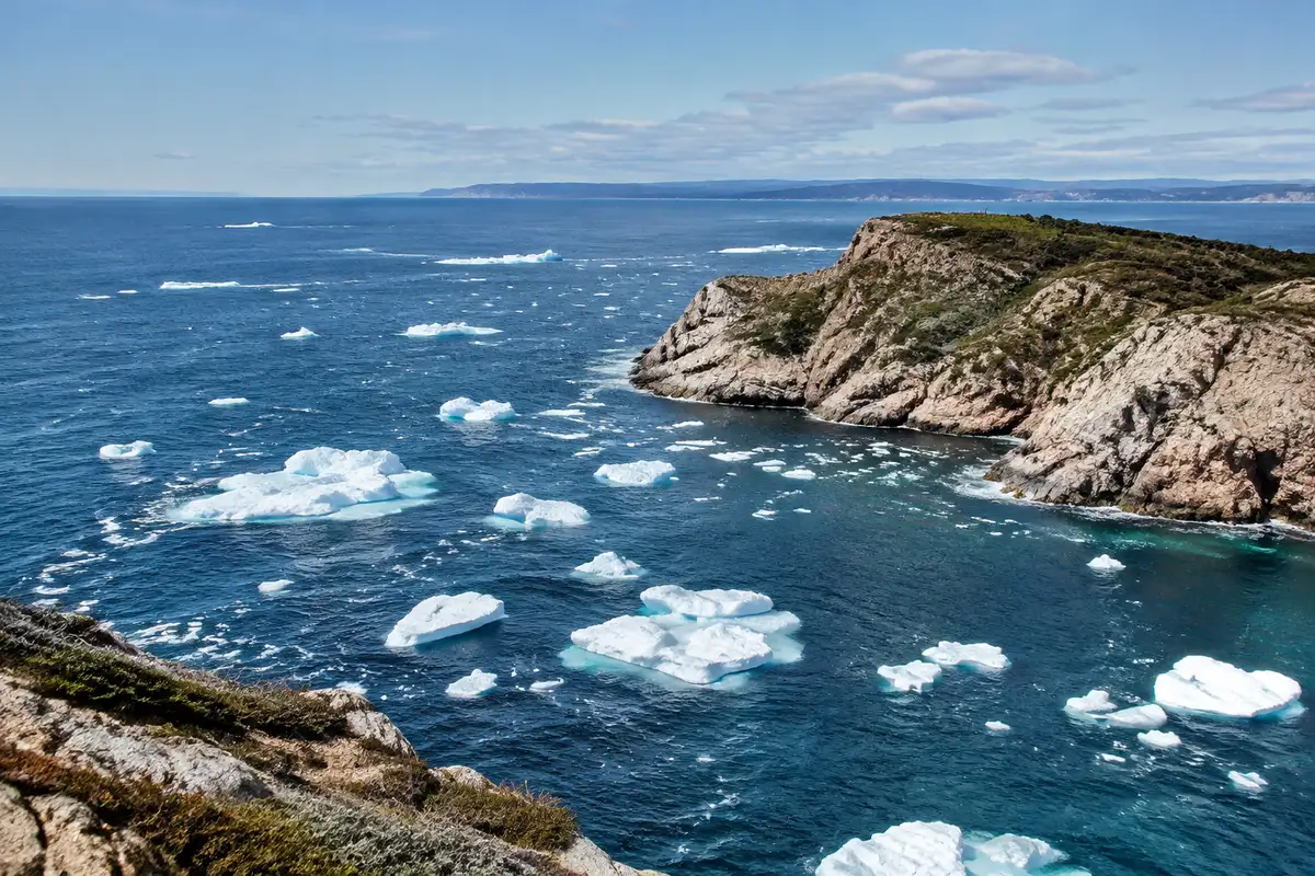
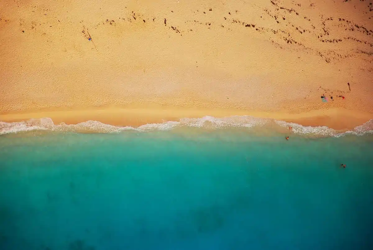
The initial set of observations includes high-resolution natural-color images of Italy, sweeping scenes of the Canadian Arctic Archipelago, and coastal views of parts of the Caribbean. Captured by the satellite’s ocean and land color instrument, the photos reveal details such as urban belts, mountainous terrain, and the contrast between open water and sea ice.
Italy’s peninsula appears in vivid, true-to-life tones, stretching from the Alpine foothills in the north down to Sicily and the central Mediterranean. Farther north and west, imagery of the Canadian Arctic — taken on September 30 — shows snow- and ice-covered islands, jagged fjords and exposed bedrock carving intricate patterns across the landscape.
How Sentinel-3C’s instruments work and what they measure
Sentinel-3C carries the same complement of sensors as its predecessors, designed to deliver continuous Earth-observation data across the Copernicus program. Two instruments are central to the early imagery and measurements:
- Ocean and Land Color Instrument (OLCI): produces natural-color and multispectral images used to track ocean color, coastal water quality, and vegetation health on land.
- Synthetic Aperture Radar Altimeter (SRAL): measures the height of the sea surface and the thickness or elevation of ice sheets, providing critical data for sea level studies and cryosphere monitoring.
Combined, these sensors support measurements of:
- Sea surface temperature, color and height
- Sea-ice concentration and floe distribution
- Greenland ice-sheet elevation and seasonal changes
- Land use, vegetation condition, river and lake level changes
Practical uses: from marine pollution tracking to wildfire response
Sentinel-3 data feed applications that affect daily life and long-term planning. For oceans, the mission helps detect marine pollution events, follow algal blooms and monitor marine heatwaves that stress fisheries and coral reefs. Over land, the imagery and derived products assist in mapping drought conditions, spotting active wildfires, and tracking crop and forest health.
These observations are essential for climate scientists, emergency responders, and policymakers who rely on timely, consistent satellite records to make decisions about coastal management, disaster response and environmental protection.
Commissioning phase and what’s next for the Sentinel-3 fleet
ESA engineers have begun a detailed commissioning period to validate Sentinel-3C’s performance and integrate it into operational services. That process involves calibration and cross-checks with existing Sentinel-3 satellites and is expected to continue for several months before routine data delivery begins.
Once fully commissioned, Sentinel-3C will help maintain the continuity of Copernicus measurements alongside its sister satellites, ensuring uninterrupted monitoring of oceans, ice, land and atmosphere for scientists and service providers worldwide.
You might also like:
- NASA time-lapse video shows drastic Virginia landscape change in just 9 weeks
- Neon orange shark found in Costa Rica: what scientists know
- The largest great white shark ever recorded spotted near a major tourist hotspot
- NASA: Earth is getting darker and what it means for the future
- Arctic ocean ridge discovered by divers, studded with volcanoes

Michael Thompson is an experienced journalist covering U.S. and global news. With ten years on the front lines, he breaks down political and economic stories that matter. His precise writing and keen attention to detail help you grasp the real‑world impact of every event.


Man, these Sentinel-3C images got me feeling like I need a vacation to Italy! Who knew a satellite could capture such breathtaking views of our planet? Its like having a free ticket to explore from above!
Man, those Sentinel-3C images of Italy and the Arctic are like eye candy for the soul. Its wild how tech can serve up such stunning views. Makes me wanna pack my bags and go explore those places right now!
Man, those Sentinel-3C images are like peeking through a magic window! Italys coast, Arctic ice, Caribbean blues… Its like getting a world tour from my couch. Cant wait to see more!
Man, those Sentinel-3C pics of Italy and the Arctic are cooler than my exs attitude. Who knew a satellite could capture such rad shots? Maybe I should start a Space Photography Insta account, huh?
Man, those Sentinel-3C pics hit different! Italy looked like a postcard come alive, Arctic was all icy majesty. Makes you appreciate the tech behind it all, yknow? Props to ESA for giving us these eye candies!
I remember when I stumbled upon those Sentinel-3C images of Italy and the Arctic. Mind-blowing stuff, mate. Makes you appreciate the beauty of our planet from a whole new angle, innit? Natures like a masterpiece, always showin off.
Man, those Sentinel-3C pics of Italy and the Arctic are like eye candy, yknow? Its wild how tech can capture such beauty. Makes me wanna pack my bags and go explore those places for real, no filter needed!
Man, those Sentinel-3C images are like window-shopping for planets, yo! Seeing Italy and the Arctic from space is mind-blowing. Feels like were all just tiny ants scurrying around down here. So, whens the Sentinel-3D dropping?
Man, those Sentinel-3C pics of Italy and the Arctic are like eye candy for my inner explorer! Reminds me of when I got lost in a photo album for hours. Cant wait to see more adventures through space!
Man, those Sentinel-3C pics of Italy and the Arctic are mind-blowing! Reminds me of that time I got lost in an Italian village. Bet this satellite couldve helped me find my way back!
Man, those Sentinel-3C pics are like peeking through a cosmic keyhole! Italy, Arctic, Caribbean… its like a virtual backpacking trip. Wonder if they can see what flavor gelato Id pick in Rome!
Man, those Sentinel-3C pics are like a sci-fi movie come true! Italy looks like a postcard, and the Arctics ice caps are chilling! ESAs really giving us the VIP tour from space, huh? So, wheres my ticket to the Caribbean view?
Man, those Sentinel-3C shots of Italy and the Arctic are like eye candy for the soul! Makes me wanna pack my bags and just go explore those places, ya know? The Earth is a beaut, no doubt.
Man, those Sentinel-3C pics be hitting different! Seeing Italy and the Arctic from space? Mind-blowing stuff. Makes you wonder what else is out there waiting for us to discover, yknow?
Man, those Sentinel-3C pics of Italy and the Arctic are like eye candy for space geeks! Reminds me of that time I tried to find my house on Google Earth. Cant wait for more cool snapshots!
Man, these Sentinel-3C pics got me daydreaming about my next trip. Italy looks like a postcard, and the Arctic is all icy magic. Who knew satellites could make me wanna pack my bags so bad?
Dang, those Sentinel-3C pics are really stirring up some wanderlust vibes in ya! Italys all picturesque and the Arctics like a frozen fairytale, huh? Who needs travel brochures when satellites got your back, right? Bet those pics got some serious packing itch going on!
Dang, these Sentinel-3C pics got me daydreaming bout Italy and the Arctic. Reminds me of that one time I got lost in a photo album for hours. Cant wait for more!
Man, those Sentinel-3C pics make me feel like a tiny ant in a big world. Italy looks like a postcard, the Arctic a frozen mystery. Cant wait for the Caribbean shots—need some virtual sun!
Man, those images from Sentinel-3C are like something out of a sci-fi flick! Italy, the Arctic, and the Caribbean all in one? Its like a virtual vacation without the sunburn. Cant wait to see what else this bad boys got in store!
Man, those Sentinel-3C images are like a free trip around the globe without leaving your couch! Italy looks like a postcard, the Arctic is all icy majesty, and the Caribbean? Pure paradise on screen! Natures real show-offs, aint they?
I know, right? Those Sentinel-3C pics are basically like a round-the-world ticket minus the jet lag! Italys all postcard-perfect, the Arctics giving us the icy vibes, and the Caribbean? Just screen paradise! Nature really flexin all its beauty out here. So, where to next on this virtual vacay, huh?
Man, those Sentinel-3C images are like eye candy! Reminds me of my last vacay to Italy. ESAs really nailing it. Cant wait to see what else they uncover in the Arctic and the Caribbean!
Man, those Sentinel-3C pics hit different! Like, seeing Italy and the Arctic from space? Mind-blowing stuff, bro. Makes you feel tiny in the grand scheme of things, you know? Natures a real show-off.
Man, those Sentinel-3C pics are out of this world, literally! Seeing Italy and the Arctic from up there, its like a whole new level of humbling, you feel me? Nature really flexin on us with its grandeur. Makes you wonder what else were missin, huh?
Man, those Sentinel-3C snaps are like a virtual vacay! Italy, Arctic, Caribbean – talk about globetrotting from your sofa. Who needs a plane ticket when ESAs got your back? #TravelGoals