Show summary Hide summary
- What Pawcast delivers: practical, dog-focused weather data
- Why measuring ground-level heat matters for pets
- How the team built the model: research, readings, and veterinary expertise
- Real-world impact and usage statistics
- Features, platforms, and how to use Pawcast for safer walks
- Practical tips for pet owners using ground-level weather insights
A new weather tool is putting dog safety first by translating environmental data into guidance that matters for a dog on a walk. The Weather.pet team built Pawcast to report temperatures where dogs actually live — at paw level and head height — and to flag risks that ordinary weather forecasts miss.
Designed by pet-care professionals and engineers, the service combines surface temperature measurements, breed and coat information, and route-specific estimates to tell owners whether a sidewalk, patch of grass, or stretch of asphalt could harm their pet. Users across the country are already receiving thousands of alerts each month as the app refines how heat and cold affect dogs at ground level.
What Pawcast delivers: practical, dog-focused weather data
The Growing Demand for Data-Driven Decision Making in Silicon Valley
He quit, ran out of money, and begged to come back — here’s how his boss reacted
Pawcast doesn’t just repeat air temperature. It translates environmental readings into clear, dog-centered information so owners can make safer decisions before stepping outside.
- Surface temperatures: Instant readings for asphalt, concrete, and grass — surfaces that determine paw comfort and injury risk.
- Dog Feel°: A customized temperature metric that adjusts for a dog’s breed, body size, coat length, and age.
- Route-specific guidance: Estimates tailored to the exact walk you plan, not only the neighborhood forecast.
- Actionable alerts: Notifications that warn when conditions could cause burned paws or heat stress.
Why measuring ground-level heat matters for pets
Air temperature can be misleading. A shaded reading of 98°F may feel different from the heat radiating off dark pavement, which can spike far higher and damage paw pads within minutes. Field measurements across varied surfaces reveal the kind of gaps that matter to pet health.

Grass, concrete and asphalt can show dramatically different temperatures, especially under direct sun. Asphalt, in particular, absorbs and re-radiates heat, creating localized hotspots that standard forecasts don’t capture.
How the team built the model: research, readings, and veterinary expertise
The project began when veterinarians noticed increasing questions from owners about weather-related pet safety and realized the existing guidance was outdated. That concern prompted a systematic, nationwide data collection campaign to quantify what dogs actually experience at ground level.
Fieldwork and data collection
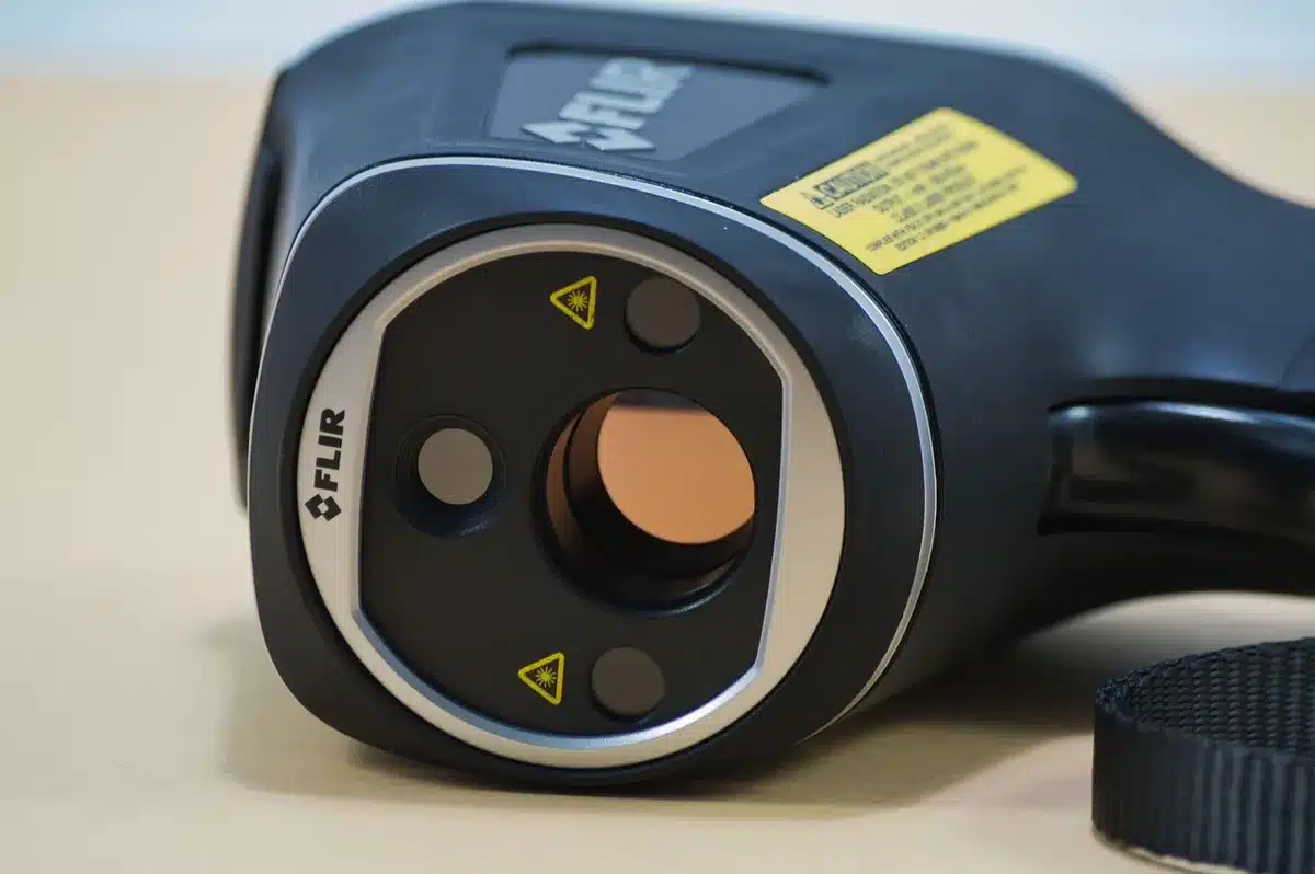
- Thousands of surface temperature samples were taken across cities, suburbs, and rural areas.
- Measurements were logged for different surfaces — dark asphalt, sun-baked concrete, and cooler grass — under varying weather conditions.
- Teams recorded temperature differences between surface readings and ambient air to build correction factors for the model.
Translating data into Dog Feel°
Combining the surface dataset with veterinary input, the developers created Dog Feel°, a metric designed to reflect the thermal load on a dog rather than a human. The algorithm accounts for:
- Breed-specific sensitivities and typical coat thickness
- Body size and weight
- Age and any known health vulnerabilities
This lets Pawcast produce a tailored recommendation for each pet instead of a one-size-fits-all warning.
Real-world impact and usage statistics
Since launching the Pawcast feature in the fall months, the service has sent tens of thousands of notifications to pet owners nationwide. In a recent reporting window, the system delivered roughly 28,000 alerts to more than 2,000 pet parents across all 50 states and Washington, D.C. These alerts provide an immediate reading plus the Dog Feel° assessment so owners can decide whether to alter their route or time their walk.
Weather.pet’s leadership team draws on prior success in pet telehealth. The creators behind the app previously developed TeleTails, a veterinary telemedicine platform that now supports roughly 1.5 million pet owners and informed their approach to scalable, evidence-driven pet services.
Features, platforms, and how to use Pawcast for safer walks
The app is designed for quick checks and practical decision-making. Key features include:
- Simple input for your dog’s profile (breed, weight, coat length, age)
- Route planning tools that estimate conditions for a specific walk
- Push alerts that recommend delays or alternative surfaces when risks are detected
- Readily accessible surface temperature readings so you can compare asphalt, concrete, and grass at a glance
Pawcast is available through both the App Store and Google Play, and the website provides a streamlined interface for users who prefer desktop planning. The team continues to refine the model as more surface readings and user feedback expand its dataset.
Practical tips for pet owners using ground-level weather insights
- Check Pawcast or similar tools before leaving home, especially during heat waves or cold snaps.
- Prefer grass or shaded routes when surface temperatures are elevated.
- Use a simple rule of thumb — test pavement with the back of your hand — but rely on instrument-backed readings for precise decisions.
- Adjust walk times to cooler parts of the day and reduce intensity when Dog Feel° indicates elevated risk.
You might also like:
- Athens is turning its old airport into one of Europe’s largest parks
- 36.5°C instead of 37°C: why your normal body temperature is actually lower
- Dogs rescued by plow driver after he found them running in a blizzard
- AI-generated NWS map hallucinates fake towns in Idaho
- Google Transforms 2 Billion Smartphones: A New Global Earthquake Alert System Unveiled!

Michael Thompson is an experienced journalist covering U.S. and global news. With ten years on the front lines, he breaks down political and economic stories that matter. His precise writing and keen attention to detail help you grasp the real‑world impact of every event.